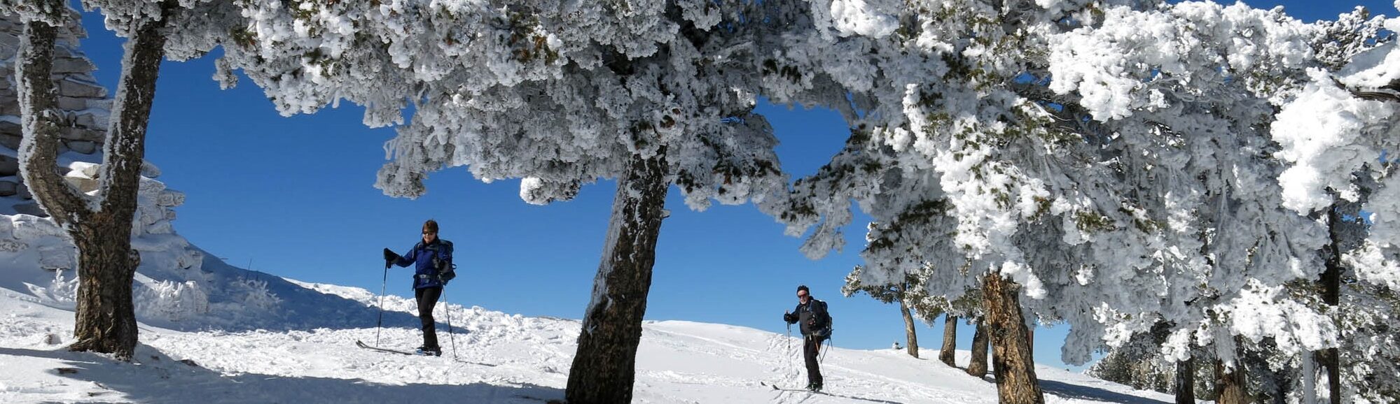
As the mountain range closest to Albuquerque and the bulk of our club membership, the majestic Sandias are an easy and obvious destination when snow conditions are good. Touring maps and trail descriptions can be found below and groomed trail info can be found at https://www.sandianordic.org/
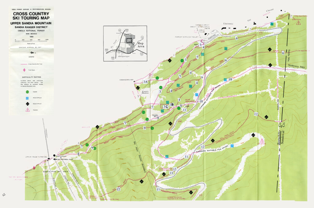
Sandia Trail Map (.pdf): Sandia Ski Trail Map
Description/Key to Sandia Trail Map (.pdf): Sandia Ski Routes
Sandia GPX Files
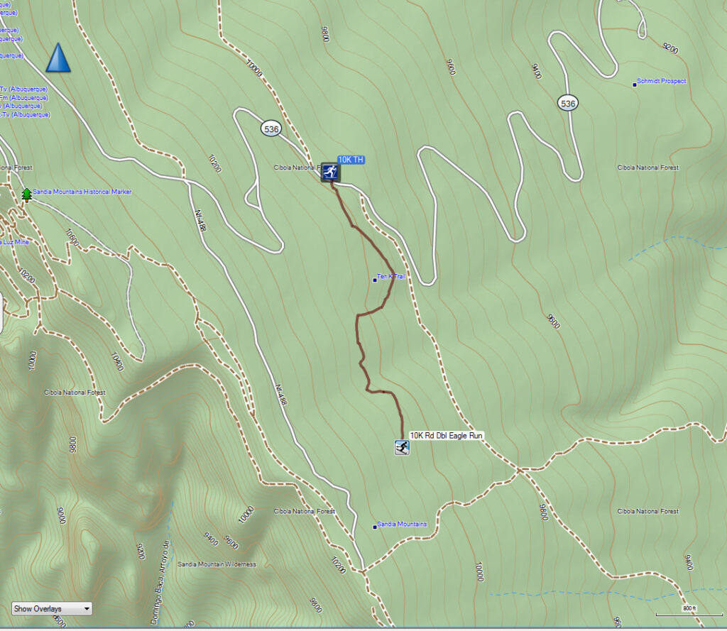
10-K Trailhead to Sandia Ski Area Double Eagle Run Logging Road
GPX file: 10K – Dbl Eagle Road (zipped)
(Rt-Click on thumbnail at left to open larger image in new tab.)
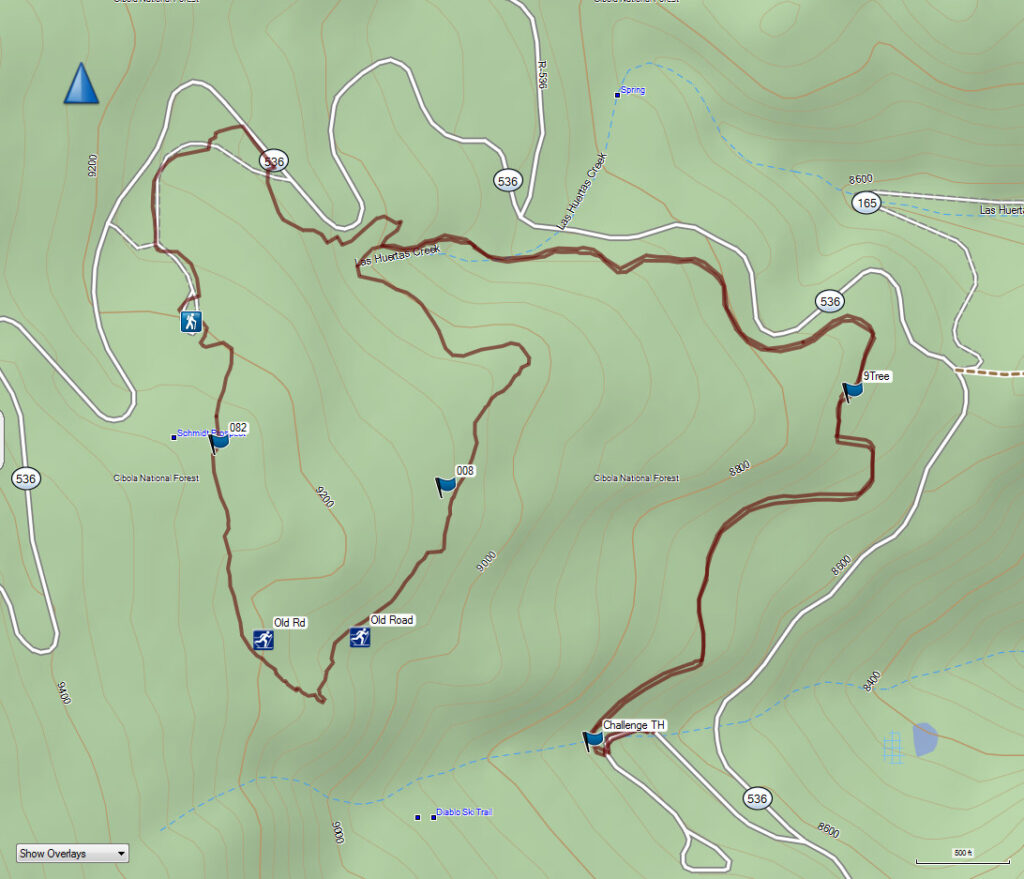
Challenge Trail – Ski Area To Nine Mile Picnic Ground via Old Challenge Road Loop
GPX file: Challenge TR (zipped)
(Rt-Click on thumbnail at left to open larger image in new tab.)
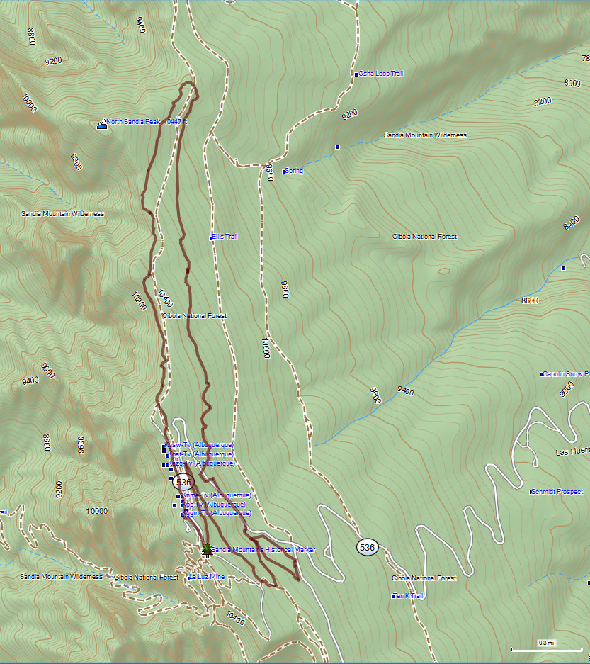
Ellis Parking Lot to Survey Trail to North Crest Trail
GPX: Survey TR – North Crest TR (zipped)
(Rt-Click on thumbnail at left to open larger image in new tab.)